1779 Map and Survey |
| Back | Map Index | Village Centre | Long Street | Tathall End | Main Map |
Stephen Hoddle is recorded as an owner of property in Hanslope parish in the 1779 survey.
The following is a section from the index to the 1779 map of Hanslope parish referring to StephenHoddle as an owner of property.
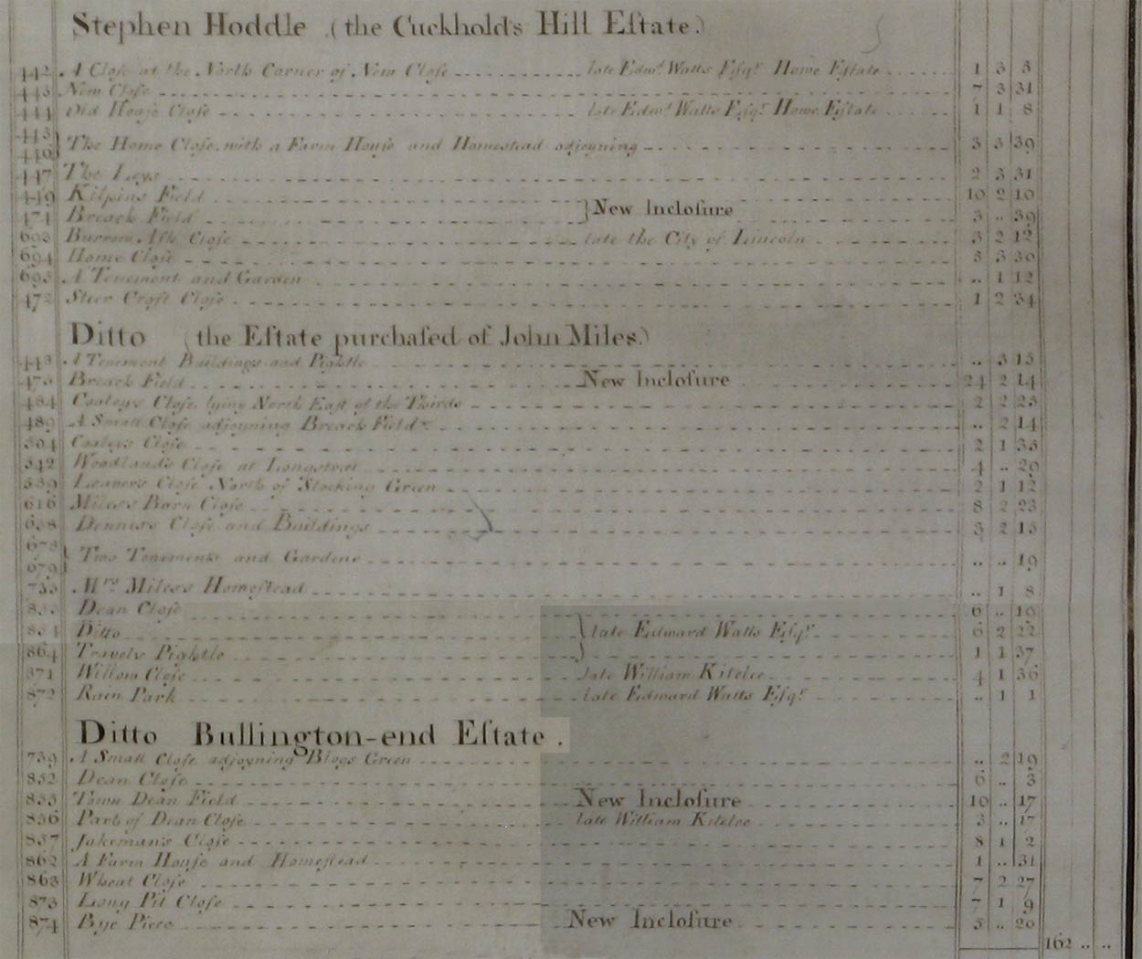 |
The following transcribes references above to houses and cottages.
| Owner | Ref.No. | Description | Building link | View Map Index |
| Stephen Hoddle | 446 | Farm house and homestead at Cuckhold's H | 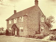 Cuckoos Hill |
|
| 448 | A tenement buildings and pightle | none | ||
| 638 | Dennis's Close and buildings | 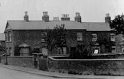 Yew Tree Terrace |
||
| Transcriber's notes: This is land that subseqnetly was split to provide for the Gospel Hall and 43 and 45 Gold Street | ||||
| 678 | Tenement and garden | 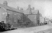 Blacksmith's, Church End |
||
| 679 | Tenement and garden | none | ||
| 695 | A tenement and garden | none | ||
| 733 | Mrs Miles's homestead | 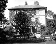 Vicarage Court |
||
| 862 | A farm house and homestead at Bullington | 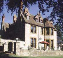 Hanslope Lodge |
||
|
Notes:
To view the page or index from the Survey referring to an entry above,
click on the For further information about buildings referred to, click on the building link. To locate the properties on the map, select either the
full map of the parish, or one of the extracts showing |
| Back | Home Page | Map Index | Village Centre | Long Street | Tathall End | Main Map |