| Maps of Hanslope Parish c1900 |
| Back | Home Page | Buildings Intro | Surveys & Maps | Select Street |
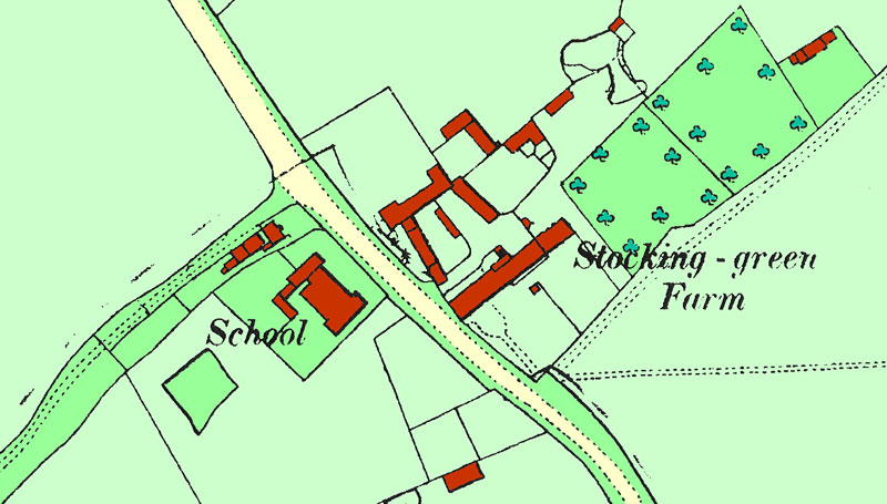
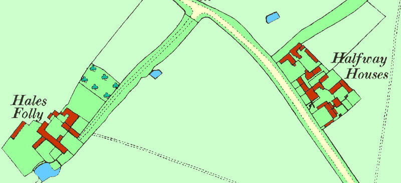
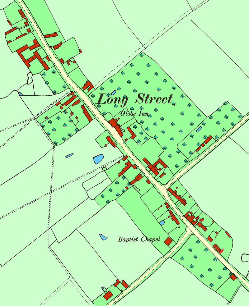
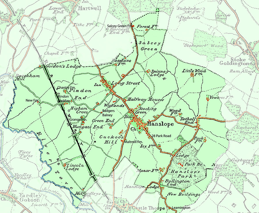
| To locate information about a property and the people associated with it click on a property on one of the maps below. For further information see notes below. | Alternative way to find a property: Select a Street and view properties in the street |
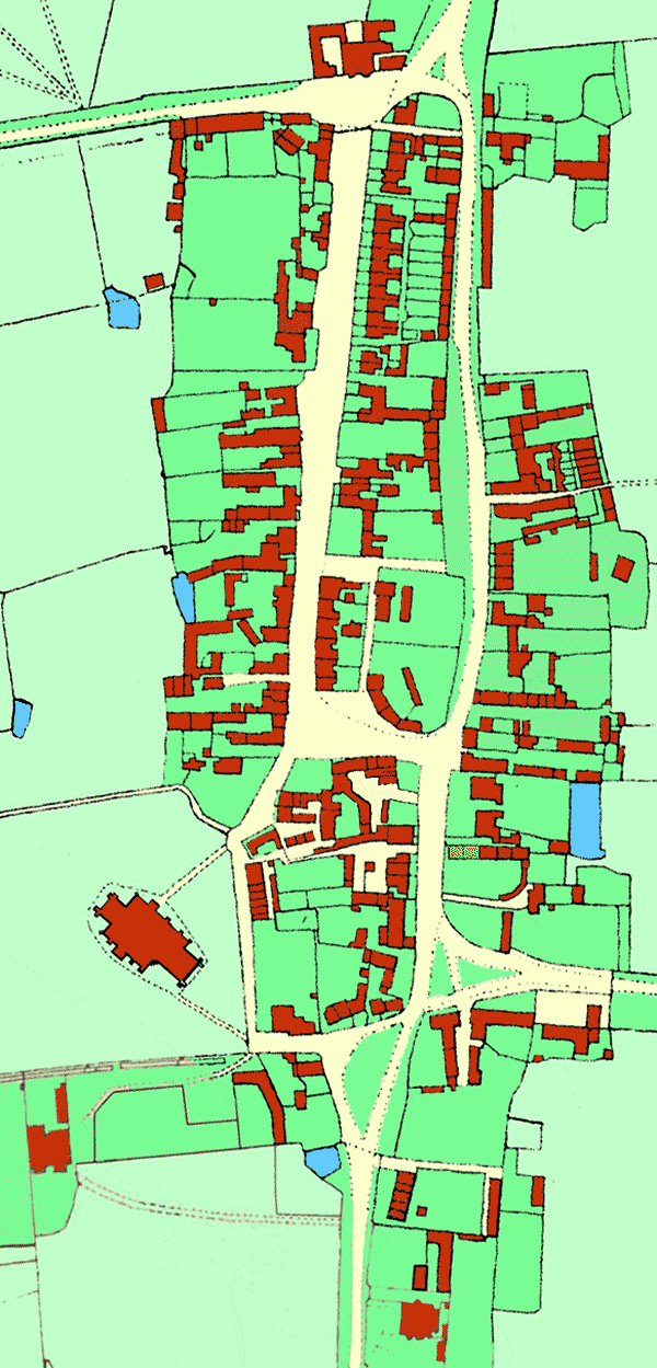
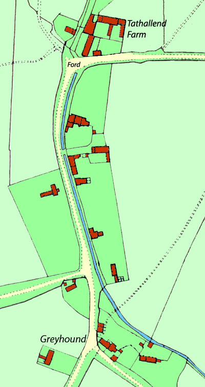
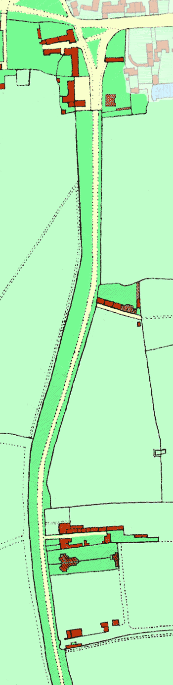
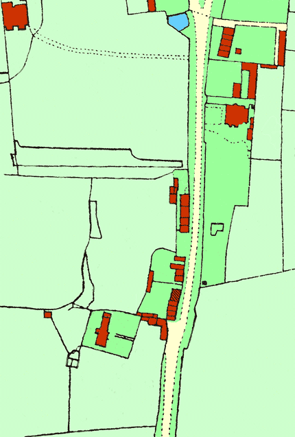
Buildings shaded appear to have been built between 1900 and 1911.
More information about most properties can be located by clicking on the property on one of the maps. Use the parish map to locate farmhouses and other isolated buildings in the parish.
An alternative method of locating a property is to search by street.
| Back | Home Page | Buildings Intro | Surveys & Maps | Select Street |